Distance between my location, Putrajaya to Kuala Lumpur is roughly around 32 km one way, if driving is the choice of transport. That will take about 35-40 minutes the most and at least an hour by train ride (MRT – Putrajaya line all the way into Kuala Lumpur and depends on the end station). Since it’s weekend, so preferably to drive with the bicycle rather than taking the train (actually on weekend most of public transportation in the Klang Valley allow for bicycle to be onboard in the last coaches). Normally, for weekend bicycle ride in the capital city would be planned at least a week in advance just to allow the necessary arrangement by me and friends since most of them have kids.
Our favourite rendezvous spot will be at the car park nearby Bank Negara Malaysia (it’s the central bank of Malaysia HQ) for easier access into city center and also places of interest around the city. Somehow, we don’t really do weekend cycling in Kuala Lumpur, well at least 3-4 times a year? (definitely if there a people to join and most importantly family arrangement). Aside to the busy roads in and out of the city, how the city is developed and structured are not really friendly for pedestrian or cyclist, something I really hope will change in near future (no point if there is policy on sustainability if the city itself is not walkable). Oh another thing, Malaysian drivers are reckless and just google our accident rate :P. Nevertheless, the city is vibrant with warmth from the local that you can really feel the sense of acceptance.
Our cycling usual cycling route will cover Dataran Merdeka (the renowned building of Sultan Abdul Samad) –> Pasar Seni –> Petaling Street –> Jalan Pudu (adjacent to bus terminal Puduraya) –> Jalan Alor –> Jalan Sultan Ismail –> Bukit Bintang (Pavilion mall) –> The Exchange 106 –> Jalan Tun Abdul Razak –> Jalan Ampang –> Petronas Twin Towers –> Jalan P Ramlee –> Jalan Sultan Ismail –> Chow Kit –> Bukit Tunku –> back to carpark. This route is roughly about 25-30 km (it will be more if there is detour around the city aside to the traffic’s condition and weather of course since it gets unbearable hot after 9 onwards or heavy rain fall if monsoon season).
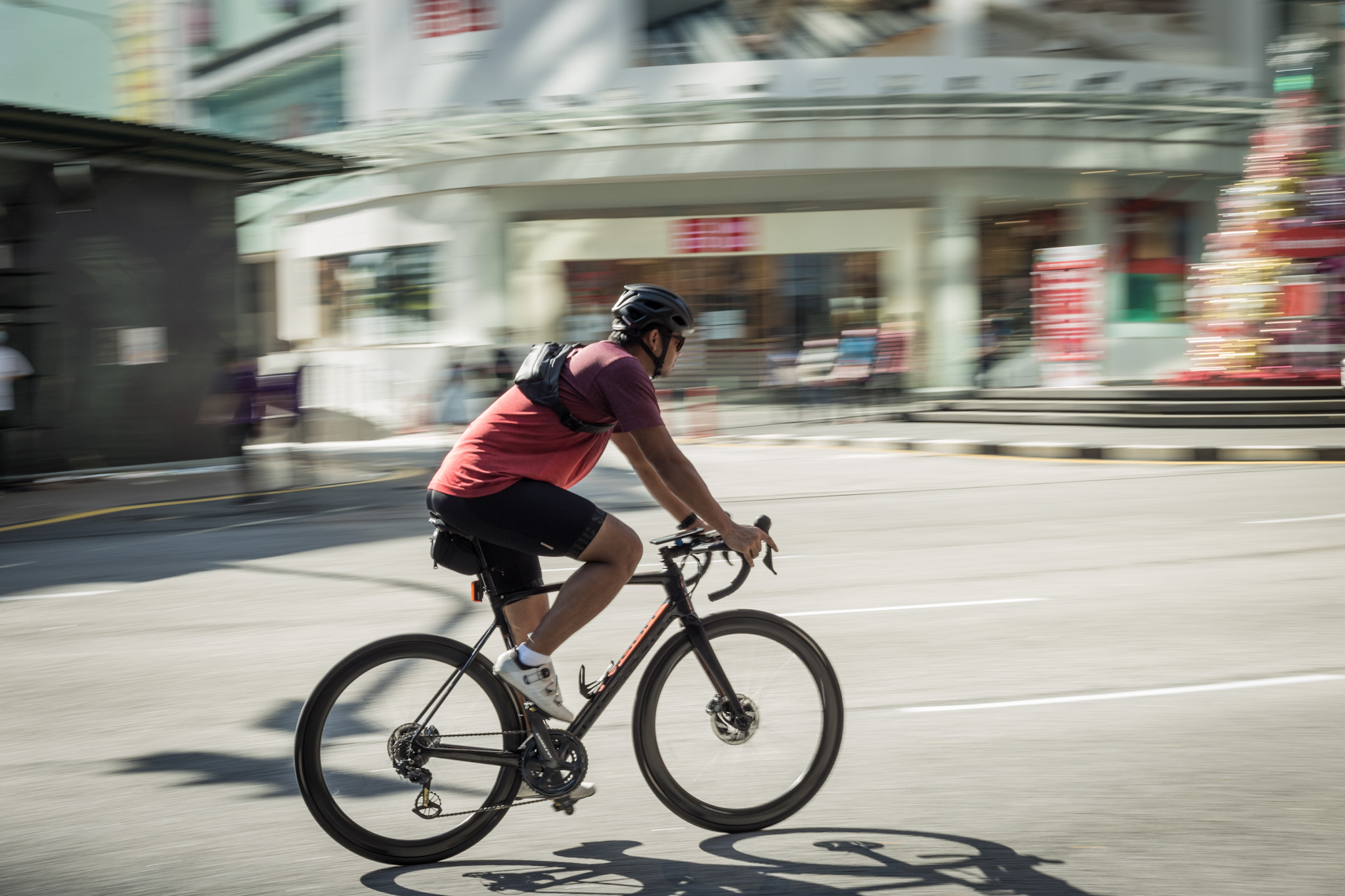
Route selection as such because of the adjacent of places to another and a one way path (less requirement to take turns or excessive detour aside to the selection of breakfast spots along the way). Started off the ride at 7:30 am from the carpark and pace is always slow, steady, non-competitive…after all we’re here just to enjoy the ride and get together on weekend. First stop will be the Dataran Merdeka, here is the meeting point of cyclists and runners in Kuala Lumpur. I always like the natural light here in the early morning as it’s always on point for some photographs. Continue on is the Pasar Seni, as the name is called Pasar is market while Seni is Art, a one stop centre for souvenirs and local artistic products.
A good spot to take photo as well and apparently you can have cafe hopping around here too (I can’t remember names of the cafe but you can always google for the highest rating). A walking distance from Pasar Seni is the famous rivers intersection between Klang and Gombak rivers with the background of Masjid Jamek (this is where Kuala Lumpur got its name). The river sides have been extensively revamped under the River of Life initiative (it was previously mooted by former Federal Territory Minister Mr Raja Nong Chik, a brilliant guy with far vision but sadly the initiative only managed to be completed for its first phase with subsequent was put on hold after change of government in 2018). Here, I can safely say the areas are walkable with fair space of pedestrian pathways that connect other tourist spots (be mindful of your surrounding since these are hot spots for tourists).
You really need to walk to enjoy this area as the hidden gems are well located off the main roads and it is also well connected with public transportation, LRT (Pasar Seni and Masjid Jamek stations) and MRT (Pasar Seni Station under MRT Kajang Line). If I’m not cycling and just to walk around for a quick photography, this would be one of the spots. Talking about delicacies, you have options here, right from western themed cafe, kopitiam (local styled coffee shop famous for local coffee, toasts spread with kaya and butter together with half boiled eggs…really should try these combo…it changed your tastebuds after :P) and mamak (Indian muslim descendent eatery with choices like roti canai, thosei, roti tissue and teh tarik or teh ais….best combination!).
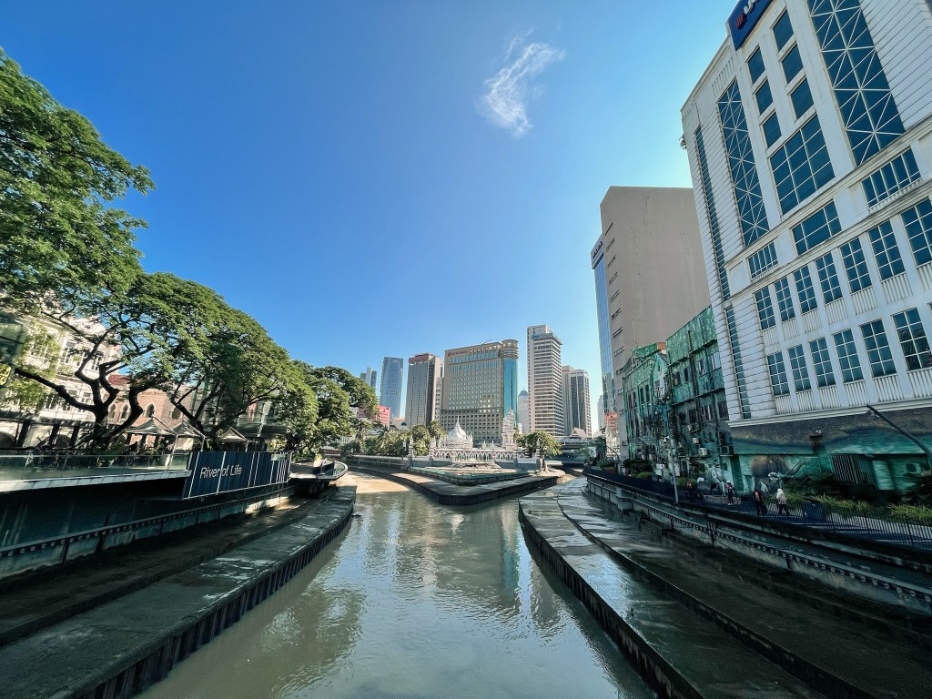
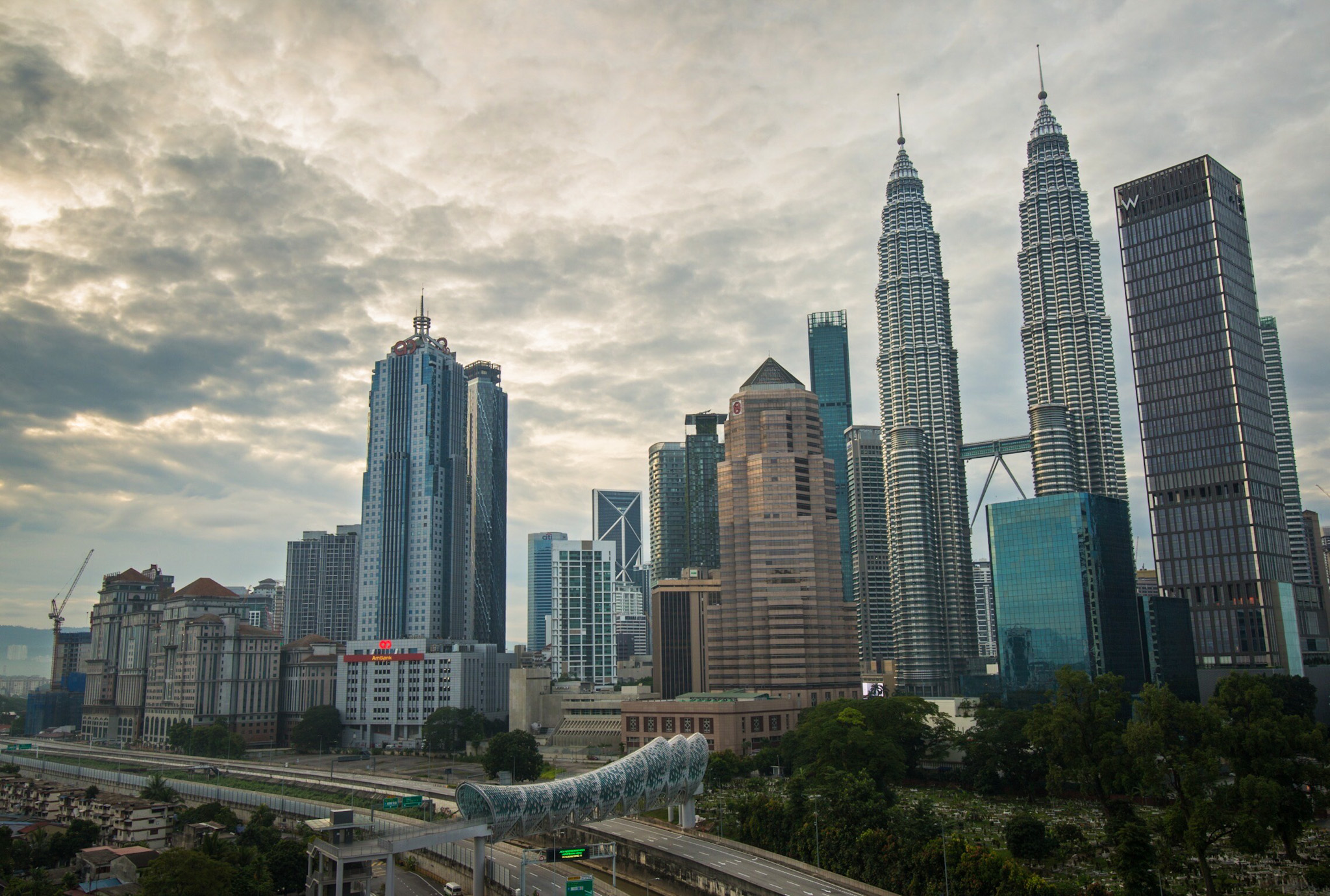
Photo above is the rivers intersection that gives Kuala Lumpur its name and Masjid Jamek as the background. On the left is the Sultan Abdul Samad building complex with Dataran Merdeka at the front and to the right will be pathway connecting to Pasar Seni. Morning light is always perfect for photography around this area and cooler. At night, this area will be lit with colourful lights and certain intervals, water mist is sprayed to gives a bit of touristy vibes. Below is a photo taken around Pasar Seni area. If you’re into street photography, this area has the subjects you need.
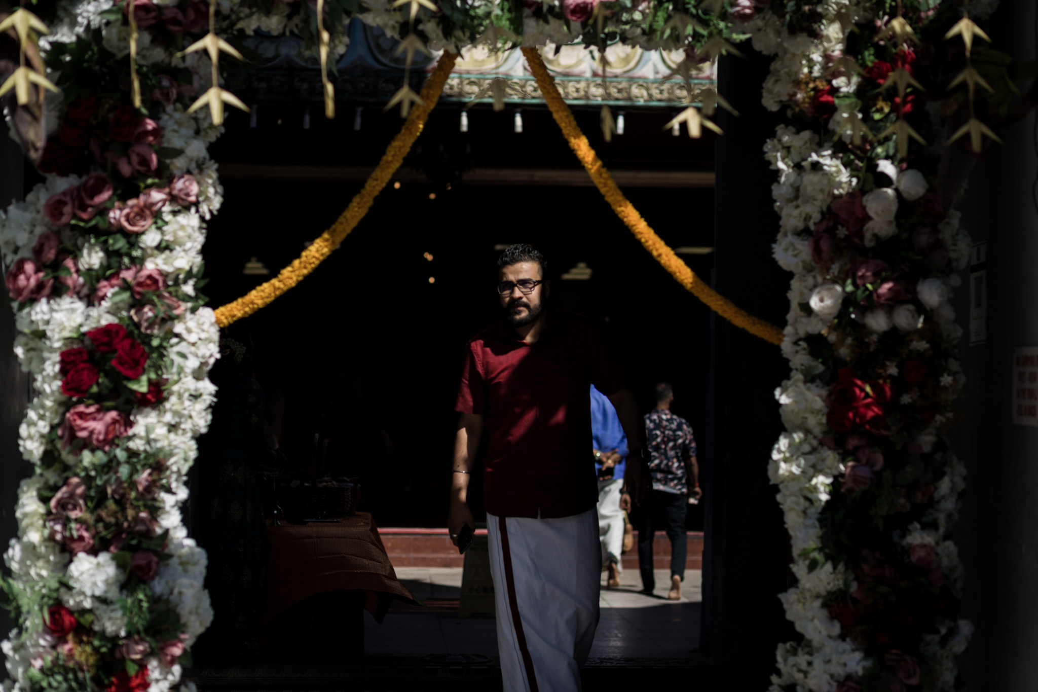
If you walk a bit further up to Masjid Jamek, you’ll cross this road crossing to Masjid India underneath the LRT station. Walking along this street will lead to more cafes and mamak or Indian styled eateries. For cyclist, this road is a bit hazardous and just be a bit extra careful here as the roads are narrow with intersections (drivers here tend to abruptly exit the intersections), just follow the road and slowly cycle, you’ll be alright. Masjid India is another tourist spot as well and here is more like little India (we have another major little India at Brickfields actually). Just take your time and explore around to see how vibrant Kuala Lumpur is.
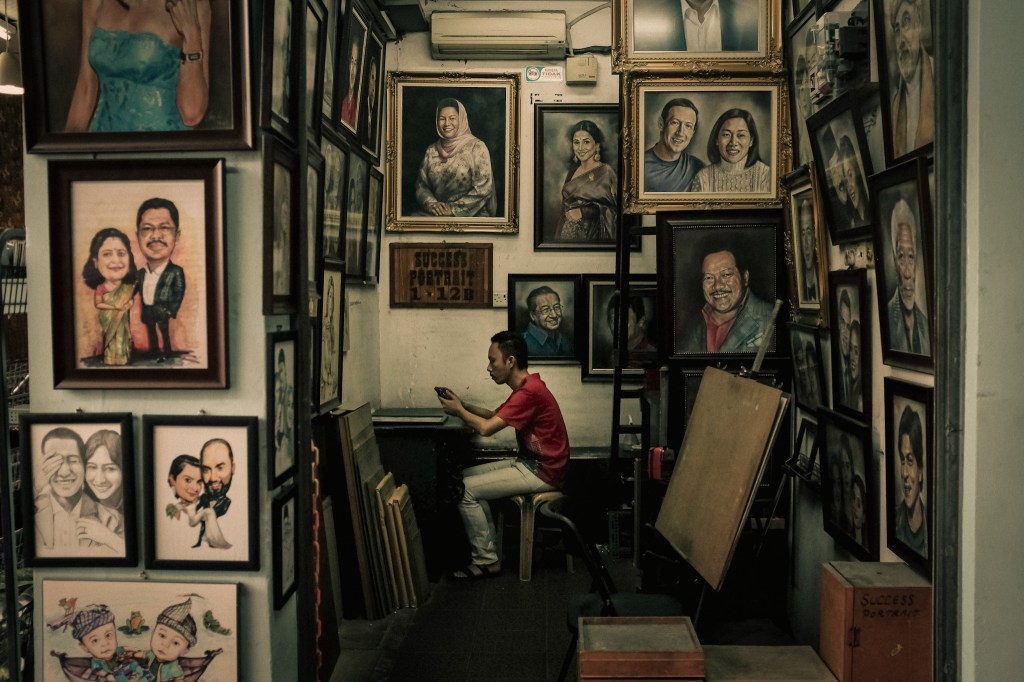
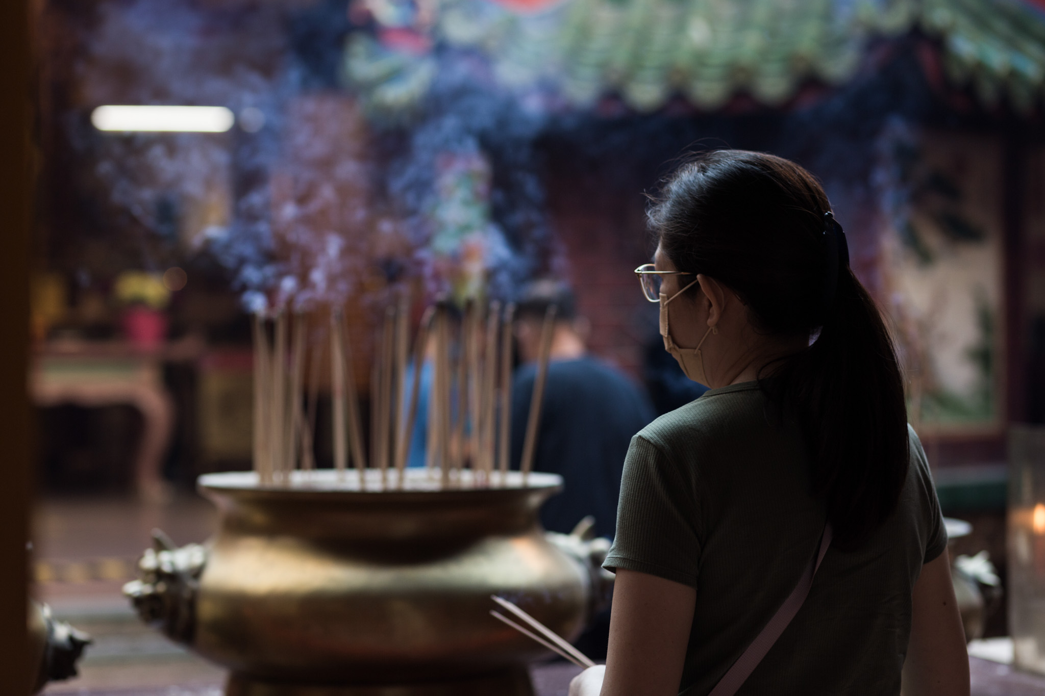
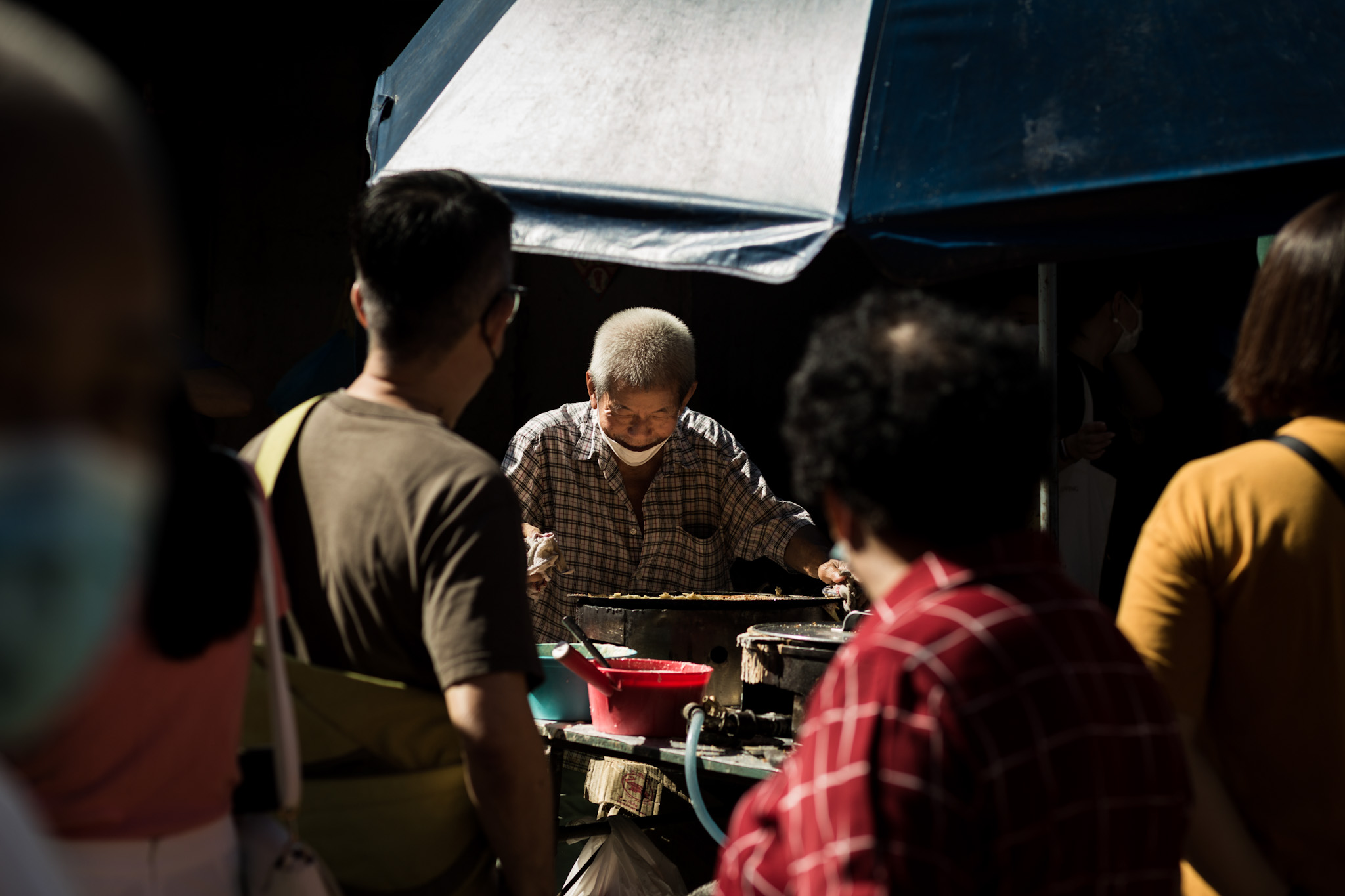
After a brief stop at Pasar Seni, we continue cycling to Petaling Street and further on to Jalan Pudu before reaching Jalan Alor. Petaling Street is known as Chinese Street by the local. Here there are 2 taoist temples you can find namely Sin Sze Si Ya and Guan Di aside to 1 hindu temple located just across Guan Di temple. The street vibes are similar to other Chinese Street in other places with good morning light for street photography (sometimes you will bump into group of photographers here). On Sunday morning, if you are here early before 9:00 am, there is a weekly used/vintage market at the back alley (you wouldn’t miss the sight, just be there early and look for a crowded back alley for the location). Reason why this spot is famous for street photography on weekend. As you walk along the streets, there are cafes and some good ones are quite hidden for cafe hopping or just to have a brief stop. Sometimes, we stop here for our breakfast and the usual spot will be Ali, Muthu and Ah Hock for a quick breakfast.
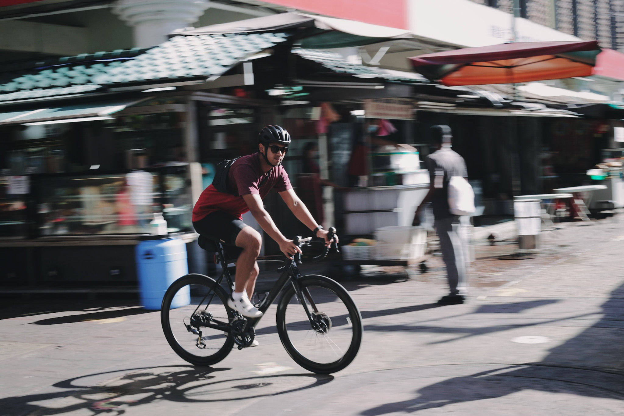
As the sun rises, we cycled through Jalan Pudu with the landmark of former Maybank tower and Puduraya bus stop. Behind the bus stop, you can clearly see Merdeka 118, the second tallest building after Burj Khalifa and around the area there some good cafes as well but for this ride, no stop nor detour to that particular area. The road from Jalan Pudu to Jalan Alor is a short distance and rightly after Tung Shin hospital, a turn that leads to Jalan Alor and connecting road to Jalan Sultan Ismail before reaching Bukit Bintang for a brief stop at Pavilion mall. Jalan Alor is also another touristy spot especially for night life and dinner (not sure why so many thai restaurants here). So this place will be congested and lively at nightfall. For street photographers, this spot is highly suggested too and best if you have another person for your subject. The back alleys are decorated with murals and layout of the street itself are ideal for background.
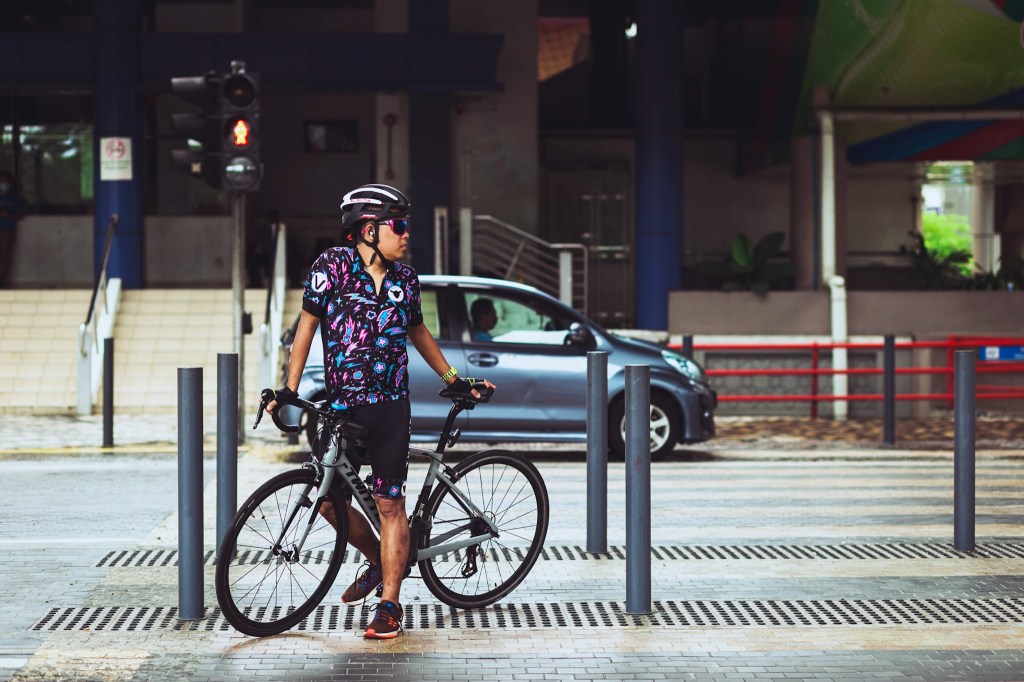
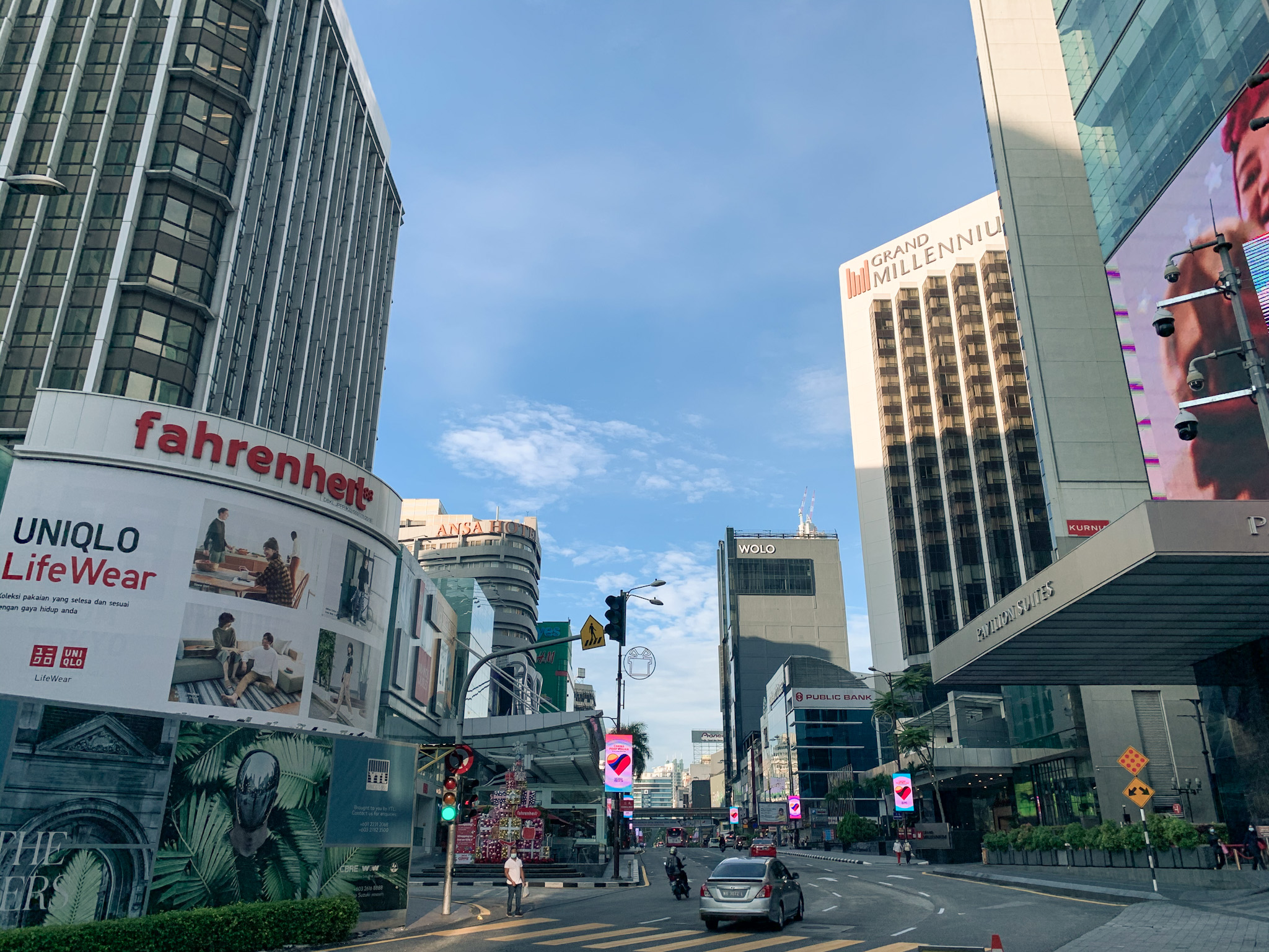
We finally reached Bukit Bintang for a brief stop and like always, some cycling photos as the roads are empty. Nothing much to do here for cyclist except for photos and here sometimes the local refer this area as the Golden Triangle (not sure how it gets the name but famous for shopping, electronics that you can get at Plaza Low Yat and maybe souvenirs? There are the Pavilion mall, Lot10, Fahrenheit and Starhill Plaza within walking distance ). Apparently, you can imagine this area like Shibuya or Orchard Road….somehow the size is way smaller than both….like really small (just to manage your expectation :P). This area is also a touristy spot and really congested. Best if to explore by foot and taking the public transport where the MRT Kajang Line, Monorail Line and MRT Putrajaya Line have stations within close vicinity. Just don’t take grab or taxi here otherwise much if your time wasted on the roads.
Bukit Bintang is well connected to the Exchange 106, the third highest building in Malaysia. right behind twin towers. There is a new mall or we call it TRX mall where you can do more exploration. I like how the mall is designed with interesting layout and there are parks around the mall. The mall is located within the newly established financial hub of Malaysia or similar to Wall Streets (just the area is moderately sized unlike Wall Streets). Keep in mind to take the public transport as the roads really get congested throughout the day except early in the morning on weekend.
We continue on to cycling along Jalan Tun Razak that is notoriously busy with traffic on weekdays that connects to Jalan Ampang (also notoriously busy) before reaching the Twin Towers. Along this road there is another taoist temple that just finished with its renovation where you can explore. Most of the buildings here are corporate and commercial offices and at the big road intersection of Jalan Tun Razak and Jalan Ampang, you can see Ampang Park MRT station with a nice skate park. There are also small sized permanent kiosks that offer coffee, pastries and quick snack with tables for dine in. There is a rumor of a developer is eyeing this piece of space for development but I really hope that won’t happen because simply this city needs more communal space or parks rather than offices/malls/high rise residentials.
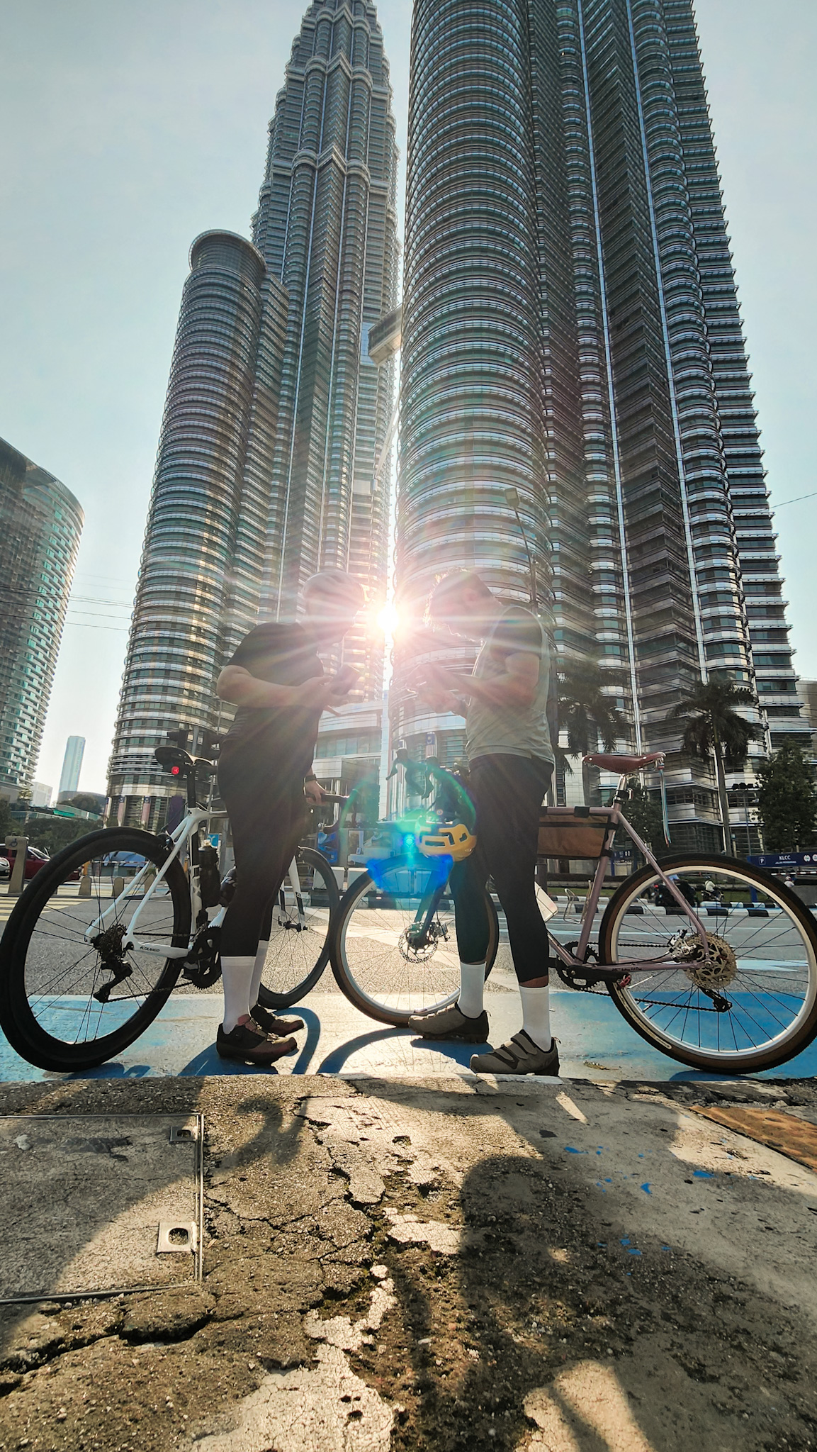
We reached the Twin Towers without a brief stop since there is no coffee stop nearby close to the main cycling roads and take photo of the towers at the intersection traffic light when it is red. Here is the infamous Petronas Twin Towers (still the highest twin towers globally) with its Suria KLCC mall aside to the Avenue K mall just opposite of the towers. Also a touristy spot but if you like to explore a bit of a nostalgic building, I would recommend Wisma Central just adjacent to the towers (in fact here most of the corporate staffs have their lunch as the prices of meals are still affordable….I too had my lunch sometimes back then when I was still working at the twin towers haha). The surrounding area is full with high rise buildings and some have interesting modern design for some landscape photography. If you can to see a bit more of greenery, the twin towers have its back located at the back entrance of Suria KLCC mall (at certain time interval there is the symphony lake water show at the park where you can sit down, relax and enjoy the musical show).
Adjacent to the Twin Towers there is a connecting bridge called Saloma that connects to Kampung Baru. It’s bit awkward to see old wooden houses within the city centre especially close to the twin towers (it’s a long story for Kampung Baru and you may google the history behind it). Most of the dwellers here are from Malay ethnicity, so you can find mostly malay delicacies and a bit of Indonesian as well. For photography, you may stroll along the streets to capture anything of interest specially old wooden houses of malay architecture. Not many still available and standing but there are some worth to see and photographed. It’s different vibes from both Petaling Street and Masjid India areas. The photo with twin towers as background is taken from Kampung Baru with the Saloma Bridge is visible across the elevated highway.
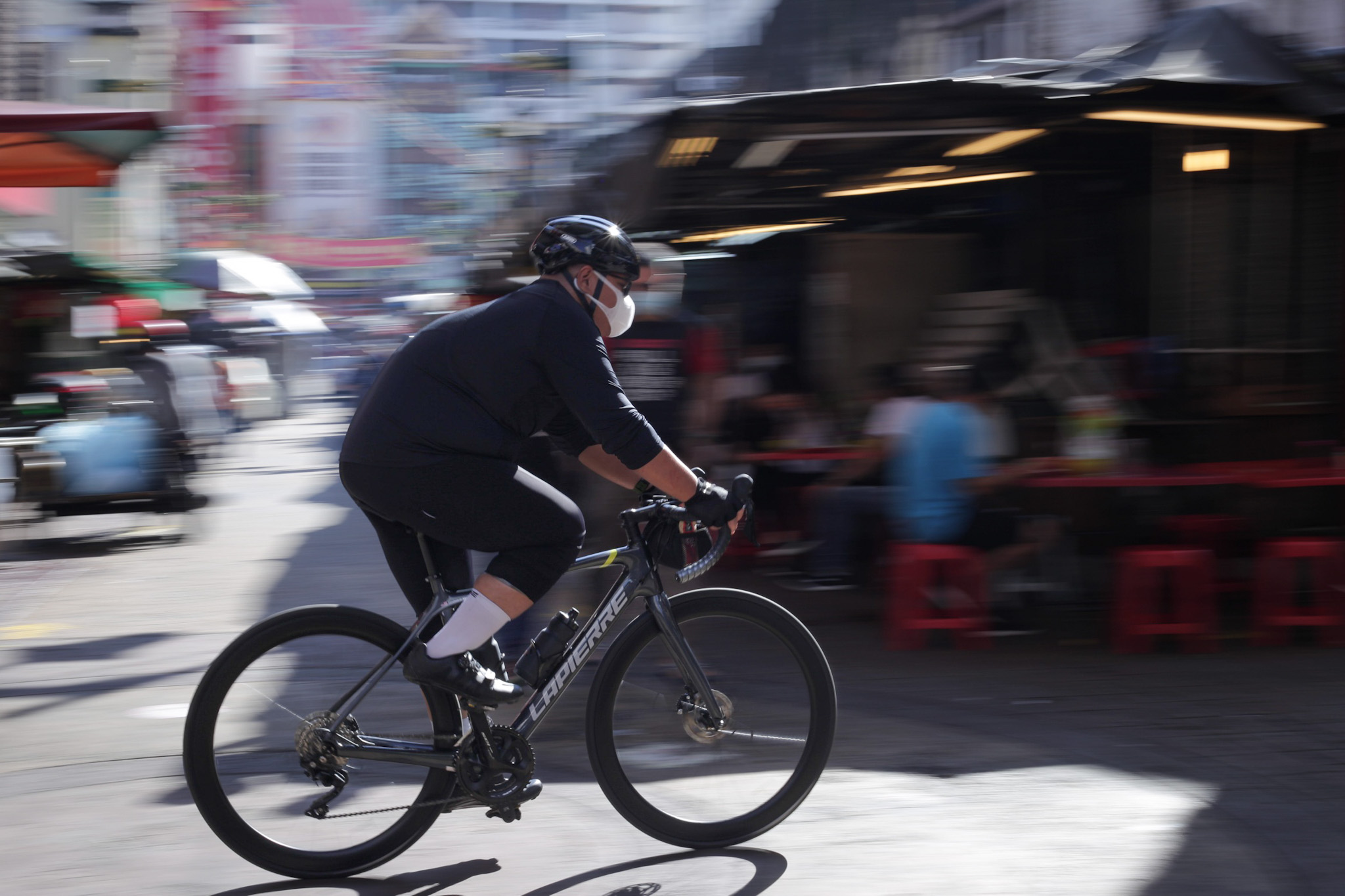
Okay back on the road, from the intersection road of the twin towers, we can directly cycle to Jalan Sultan Ismail where it connects to Jalan Chow Kit, but to have extra mileage, we opted for Jalan P Ramlee as a short detour that will eventually connects to Jalan Sultan Ismail and continue on to Jalan Chow Kit before reaching Bukit Tunku. All these are major roads within the heart of Kuala Lumpur and cycling along these routes are best with extra cautious (look out for potholes and uneven road surfaces here). You can still find cafes along Jalan Sultan Ismail and most of it located along Jalan Doraisamy (just behind Sheraton Imperial hotel). This would be my favourite cafe spot since it’s a bit more peaceful, less congested and away from the crowds.
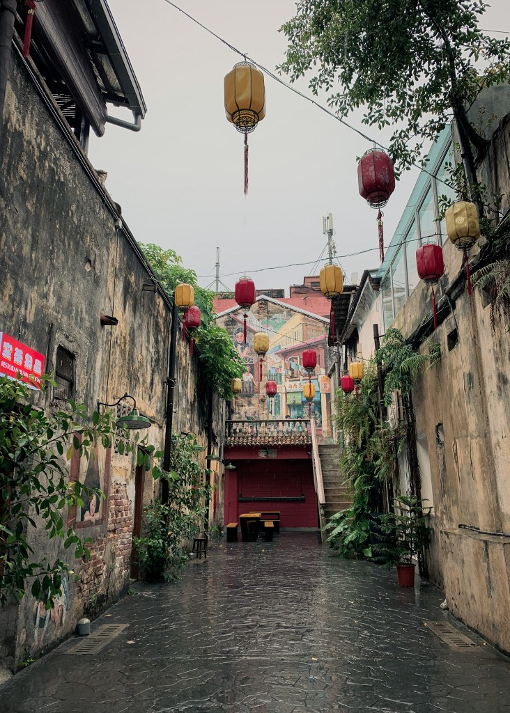
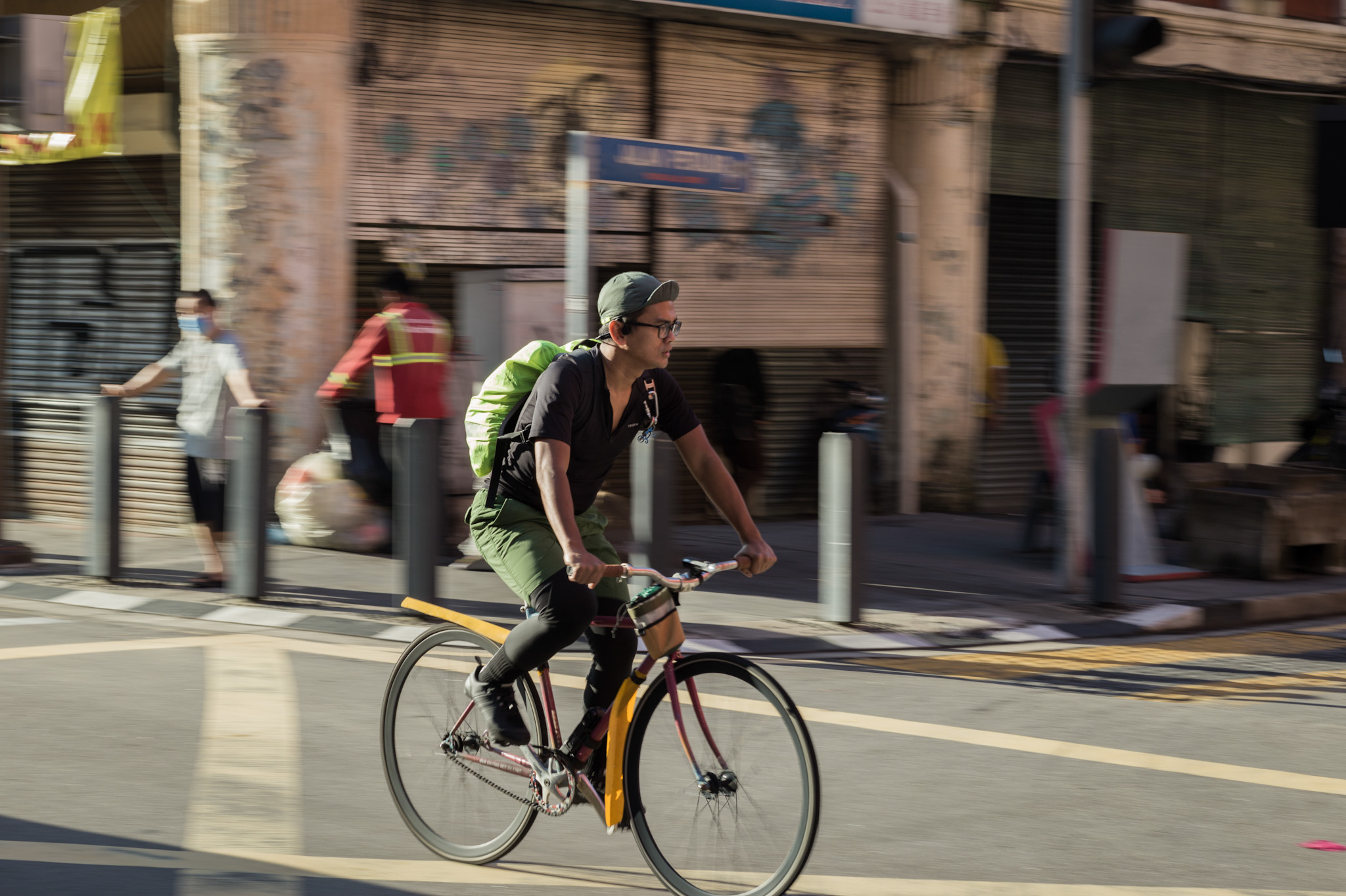
Reaching Jalan Chow Kit is the last stretch before a hilly climb to Bukit Tunku and here there is nothing much to see except if you are interested to venture the back alleys (hardly people recommend this but if you walk along the street and look for Jalan Raja Bot, there is a narrow road that leads to Pasar Chow Kit. Another good spot for street photography and best to explore in the morning. Just don’t explore at night which we locals really don’t walk alone there but the streets are lively during the month of Ramadhan). There is a nicely sized mall called Sunway Putra Mall for a short stop if you happen to sweat endlessly from the bright sunlight and I like this mall because of the size that is easily walkable and connected to a LRT station.
The last stretch of the route is the ultimatum with hilly climb and expect gradient to be around 5%-7% before reaching a spot for a short coffee break that is only available on weekend. This is the spot where cyclists will gather for a short break after the climb from Chow Kit or Mayor Hill Residence (nice spot with spectacular view of Kuala Lumpur and also where the city mayor official residence is located). After the coffee break that normally takes at least an hour, we cycle back to the carpark and from the coffee spot, the route will mostly be descending. Shorter distance is available that directly leads to the carpark but I prefer a bit of detour for the mileage where it takes to the intersection to Mayor Hill Residence (the road to the residence has a gradient ranging from 5%-10% but in a short distance) and straight on to the carpark.
Overall the journey takes about 2-3 hours with the detour and depending on the time spend at our breakfast/coffee stops. Kuala Lumpur is a nice city to explore and cycling would be best option if walking under the sun is too much of sweat and with a bit of movement speed. Just need to be extra cautious on the road and alert with the surrounding. One of the best activities to do in Kuala Lumpur is cafe hopping, culinary, cultural (yes but certain areas specially at Pasar Seni area and Karangkraf nearby Suria KLCC) and shopping (I dislike this idea but hey most cities are offering the same right? haha). Besides, there are other places worth to explore like the botanical garden, butterfly park, birds park, national mosque and Islamic Centre that are located within the same area and in walking distance.
Slowly the city is turning into a walkable city but still there are so many aspects need improvement. Yes the heat is unbearable in tropical climate but if the pathways are properly built with natural shades, the driving mindset can progressively changed with condition of good connections to efficient public transportation system. We have role model to look at like Singapore and Bangkok is slowly catching up within this region. I love Kuala Lumpur as our capital just certain aspects need to be improved and stop unnecessary concrete development especially high rise as we have too many and beyond affordability of the masses.
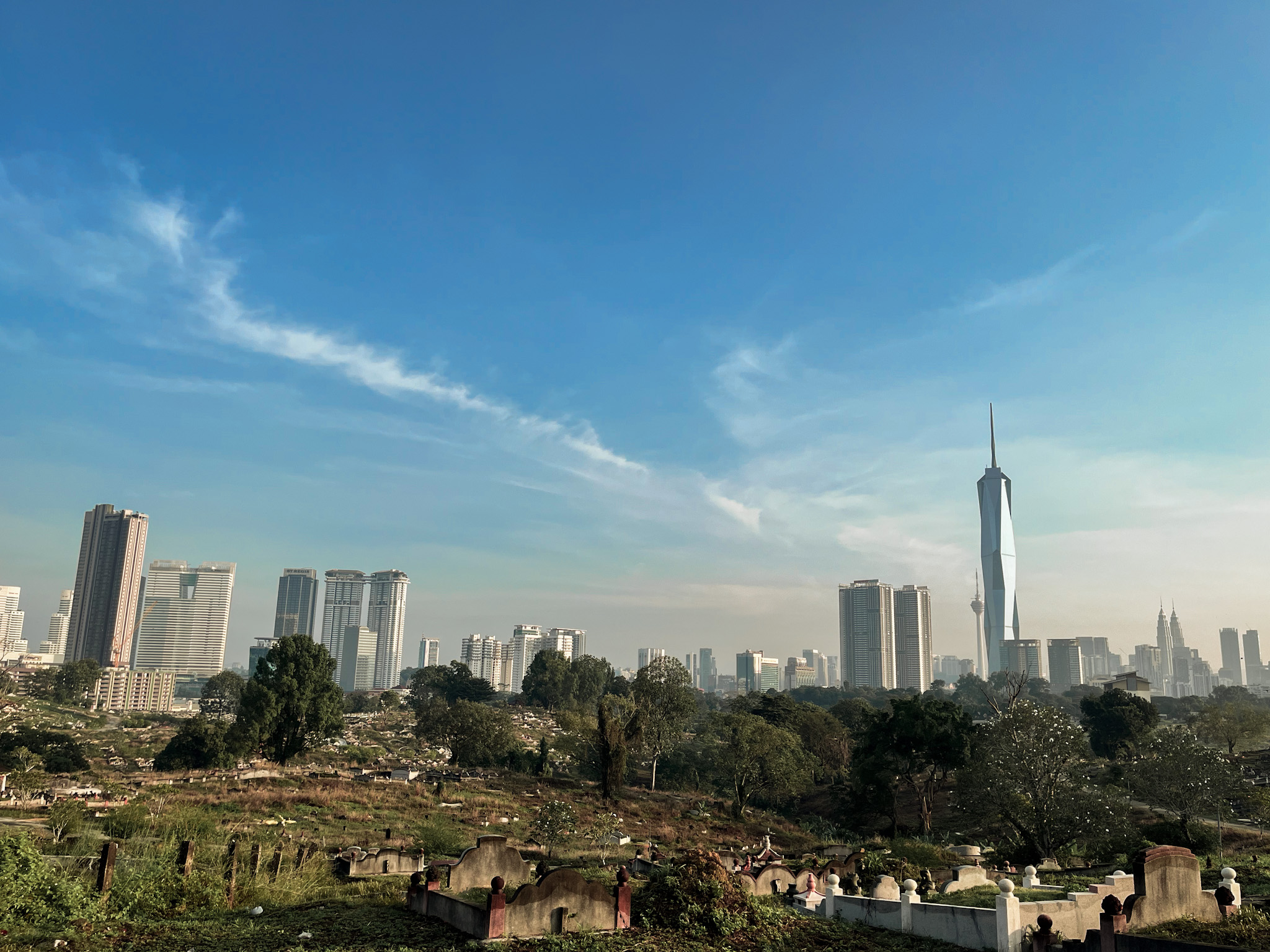
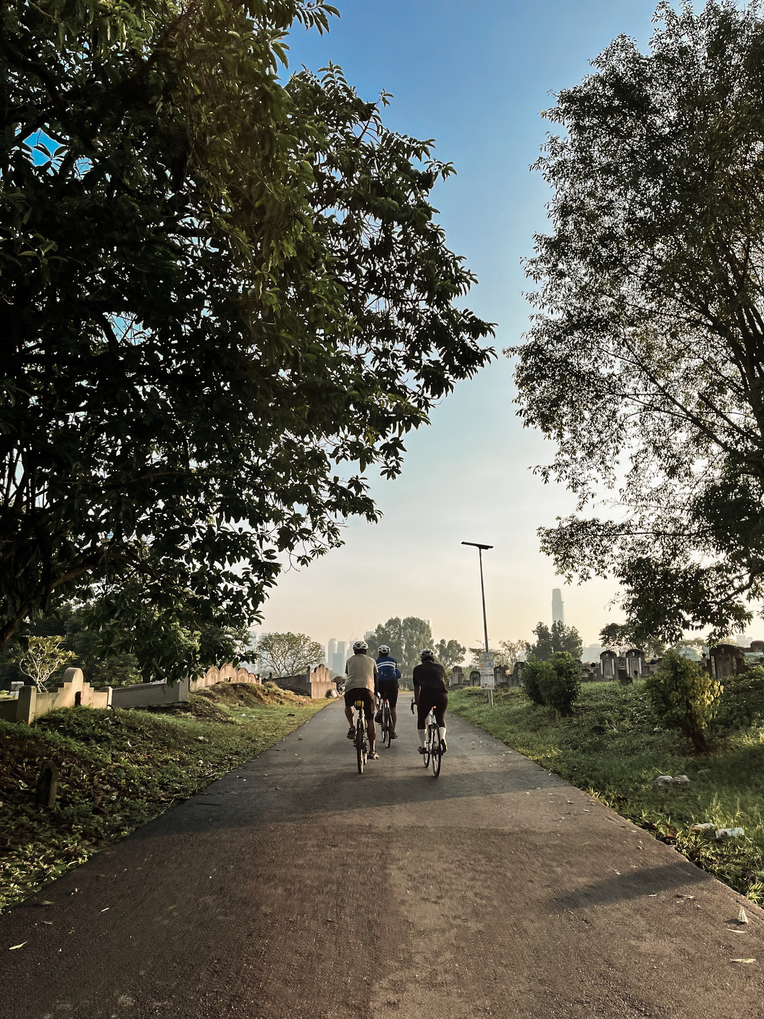
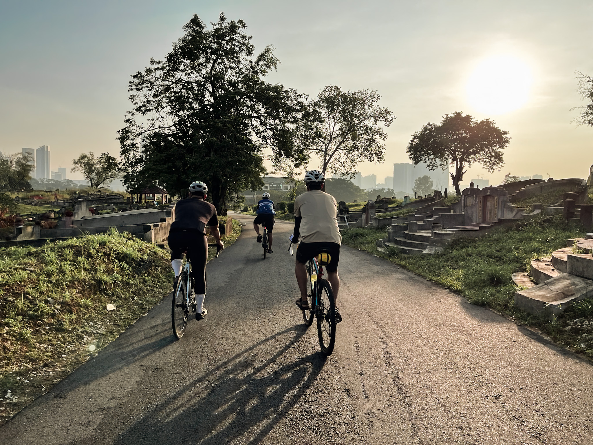
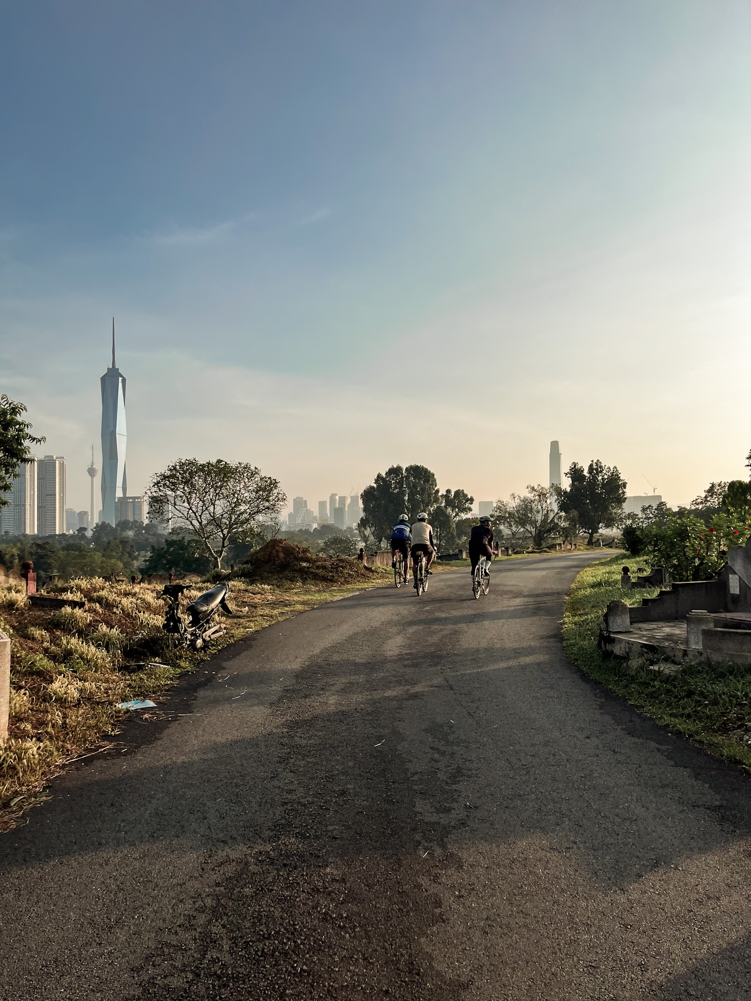
Okay enough of the brags haha and I end my writing here with some cycling photos from different route to the heart of Kuala Lumpur from Seputeh (a bit outskirt from KL city centre bordering with Petaling Jaya) crossing Kwong Tong Chinese Cemetery (hard to believe this area has good view of Kuala Lumpur just need to cross this site during daylight :P) before reaching city centre through Jalan Hang Tuah and Jalan Imbi.

Leave a comment